Completing the Archaeological Atlas for Hampi Vijayanagara (Karnataka)
Final editing and digitisation of the Atlas will make this major contribution to Hampi scholarship widely accessible
The DHF proposes to support the completion of the Archaeological Atlas and the development of digital tools for the better protection and interpretation of Hampi Vijayanagara, the celebrated UNESCO World Heritage Site.
Between 1983 and 1996, professional surveyors of the Vijayanagara Research Project (VRP) prepared topographic maps of the core area of the site. The archaeologist Dr John M Fritz, Consulting Scientist, University of Pennsylvania Museum of Archaeology and Anthropology, directed this work with the support of the Directorate of Archaeology and Museums, Government of Karnataka.
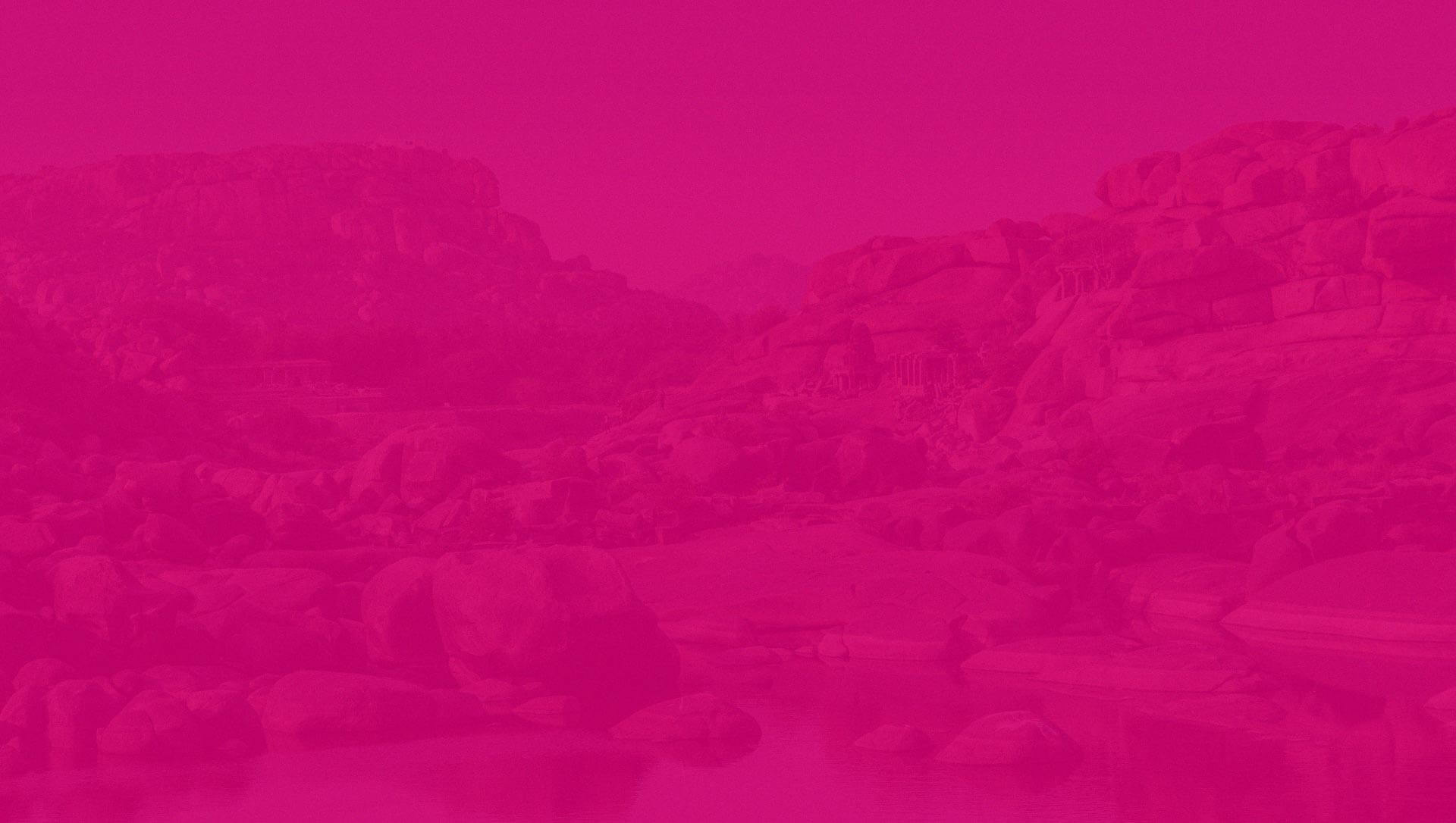
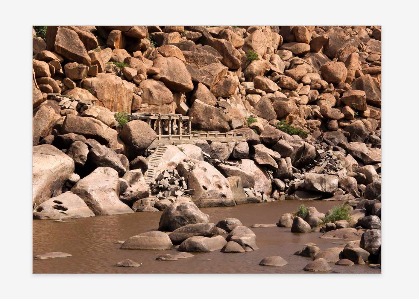
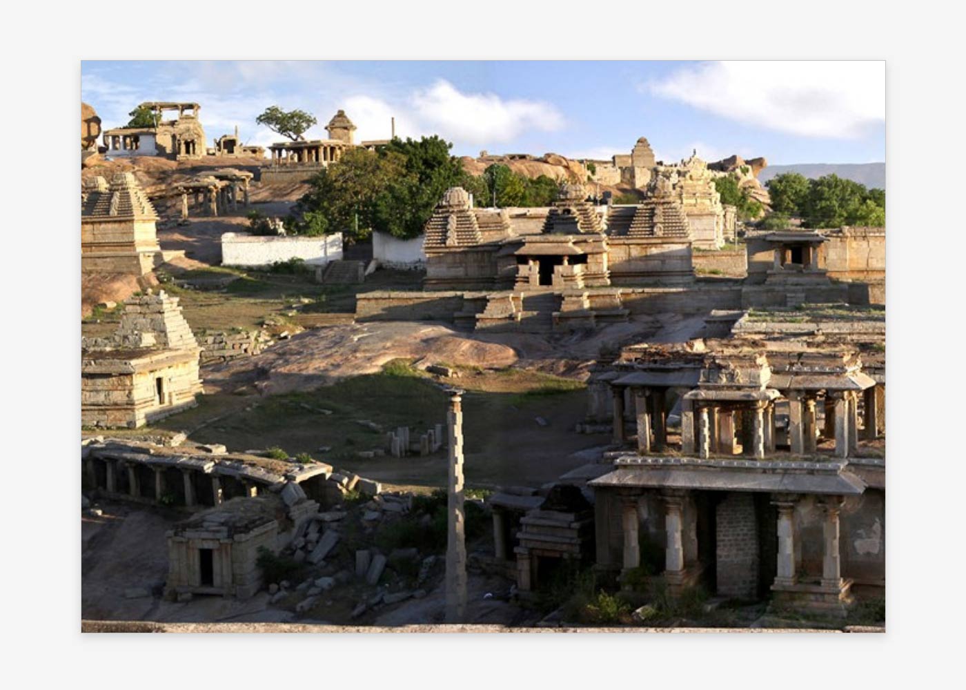
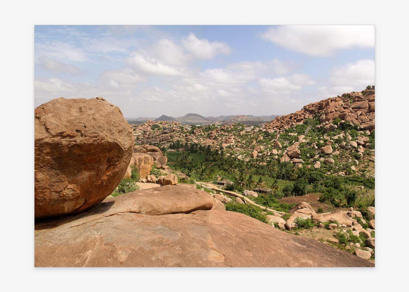
The Archaeological Atlas presents the most complete archaeological record of the surface of Hampi Vijayanagara ever attempted. It comprises 275 maps covering an area of almost 12 square kilometres, representing about 85% of the proposed archaeological park and core area for Hampi Vijayanagara. The maps meticulously document all signs of past and present cultural activity visible on the surface. Most of these features do not come under the protection of the archaeological authorities and sadly, some have been distorted or even obliterated since the maps were made.
The State of Karnataka has created the Hampi World Heritage Area Management Authority (HWHAMA), which is responsible for the development of an Integrated Management Plan (IMP) for the site. The IMP must take into account the archaeological record of the site, for which the Atlas will prove an invaluable tool.
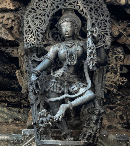
Completion of the Archaeological Atlas includes making a directory of archaeological features. Each of the 275 maps covers an area of 240 x 180 meters at a scale of 1:400. It shows natural topography, using contour lines and plans of boulders and sheet rock, as well as all recent roads, walls, fences, water channels, bore wells, electric poles, etc. Quarrying and other recent disturbances of the surface are also recorded. Past features include standing, fallen and partly buried structures of different types; carved inscriptions, sculptures and game boards; post holes for vanished structures; grinding pestles and mortars. Symbols and numbers indicate past and present cultural features, amounting to a grand total of no less than 34,000 features (an average of 123 per map). The accompanying database includes information about each feature, identified by a keyword, its precise location and condition, and cross-references to photographs, drawings and publications.
Past funding has enabled the ink-on-film maps of the Archaeological Atlas to be scanned, rectified, and clarified by our technical specialist in India. A generous grant from the Shelby White and Leo Levy Program for Archaeological Publications has facilitated the editing of a significant part of the Directory and related map images, the preparation of explanatory essays, and the scanning of drawings and photographs linked to the Database. However, additional editing of map images and of the Database is now required, as well as the digital tools to achieve links to the other maps and databases already created by the Hampi World Heritage Area Management Authority.
Details

Project Status
Ongoing

Location
Hampi Vijayanagara (Karnataka)

Partners
Autodesk India Private Limited
Shelby White and Leo Levy Program for Archaeological Publications

Community
Attempts to digitise and map all the extant historical relics and monuments of the Hampi World Heritage Site and provide these to scholars
Will enrich the understanding, knowledge and visits to the region

Support Overview
Estimated Cost: US$ 75,000
Gallery

-
Check out our upcoming and past events, from webinars to annual lectures and more
-
Learn about our landmark digital documentation project at the mausoleum of Ahmed Shah Wali in Bidar in collaboration with Factum Foundation
-
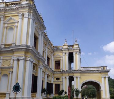
Discover how the DHF is reviving Jayalakshmi Vilas Mansion, a symbol of Mysore’s royal grandeur
-
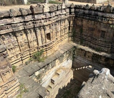
Learn about our restoration of the Kalyani Chalukya-era Nagakunda Stepwell in Sudi, Karnataka
-
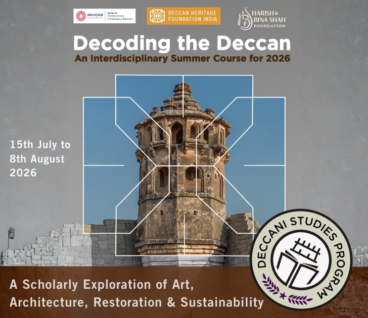
Support scholarships to DHF’s 2026 Deccan Studies Program
-
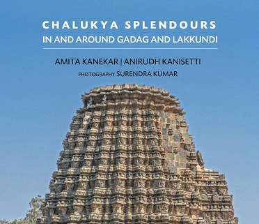
Coming soon: our new guidebook on the Late Chalukya monuments in Gadag & Lakkundi, Karnataka